Governance & Urban Management · 7 verticals
Managing the municipality with transparency and citizen participation
Citizen-reported incidents, surveys, open data, planning, municipal assets and inspections, with centralised visualisation of urban indicators.
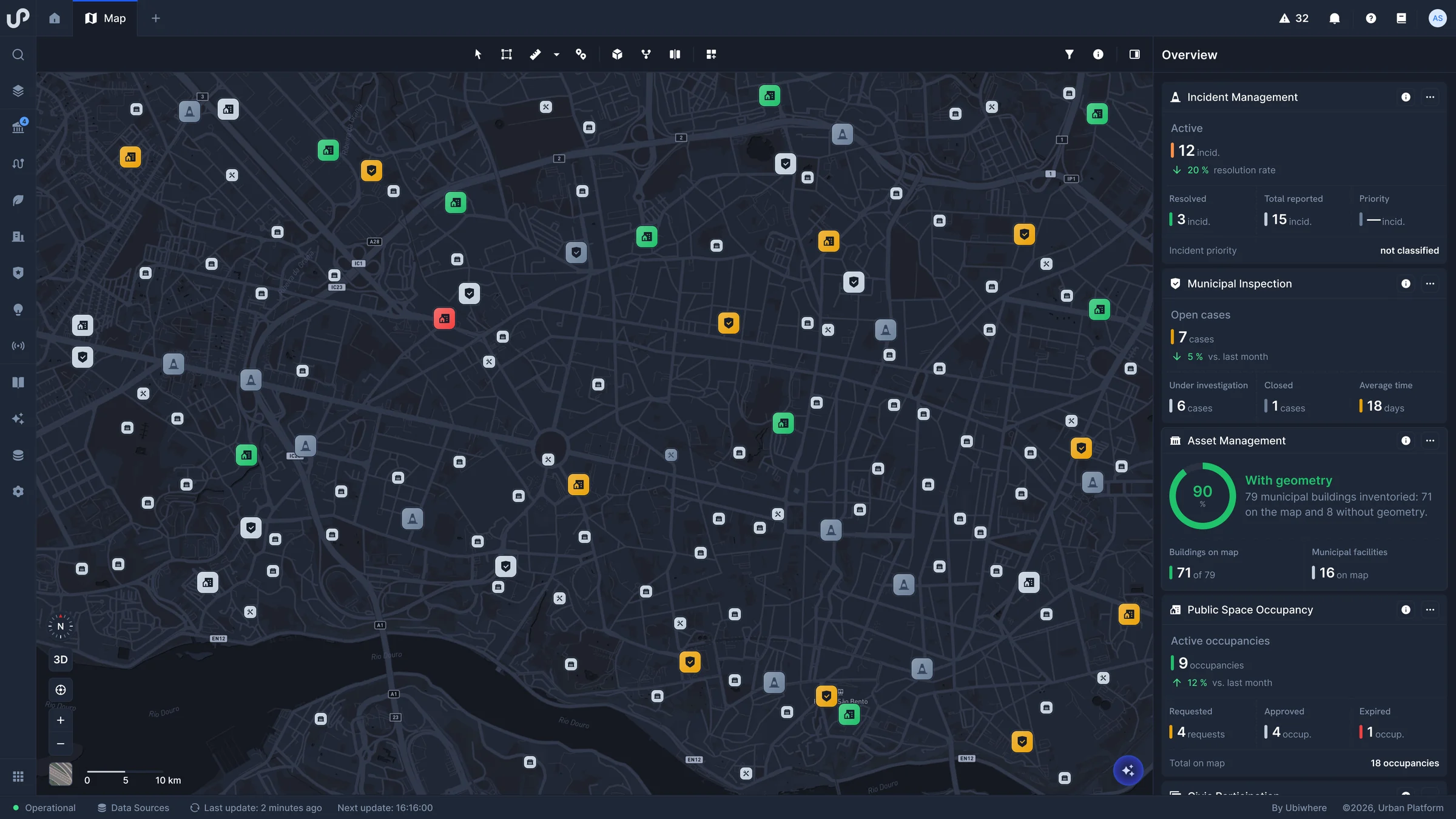
- Urban Data Centralised visualisation of urban indicators and public space occupancy.
- Open Data Open data available to the public, with ready-to-use visualisations.
- Civic Participation Public surveys, public consultations and participatory budgeting.
- Planning and Territory Territorial plans, zoning and land registry in GIS, with investment projects on the map.
- Incidents and Citizen Services Citizen-reported incidents, classified by severity and tracked through to resolution.
- Asset Management Municipal buildings and equipment, with usage data and maintenance records.
- Inspections Recording and follow-up of municipal inspections across the territory.
Mobility & Transport · 9 verticals
Improving urban flows with real-time information
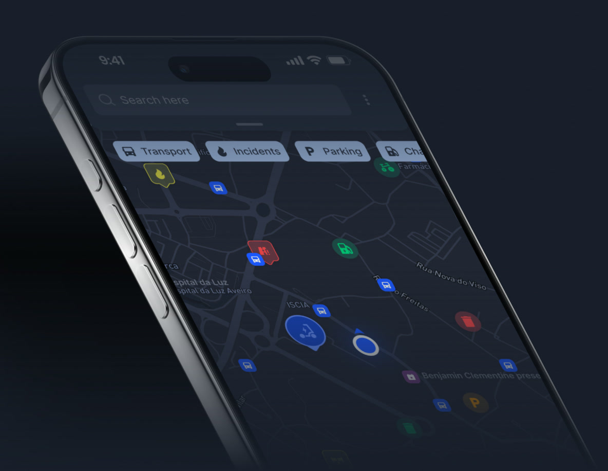
Traffic, parking, public transport, micro-mobility, electric charging points, logistics, road safety and fleets, with commuter flows for better urban planning.
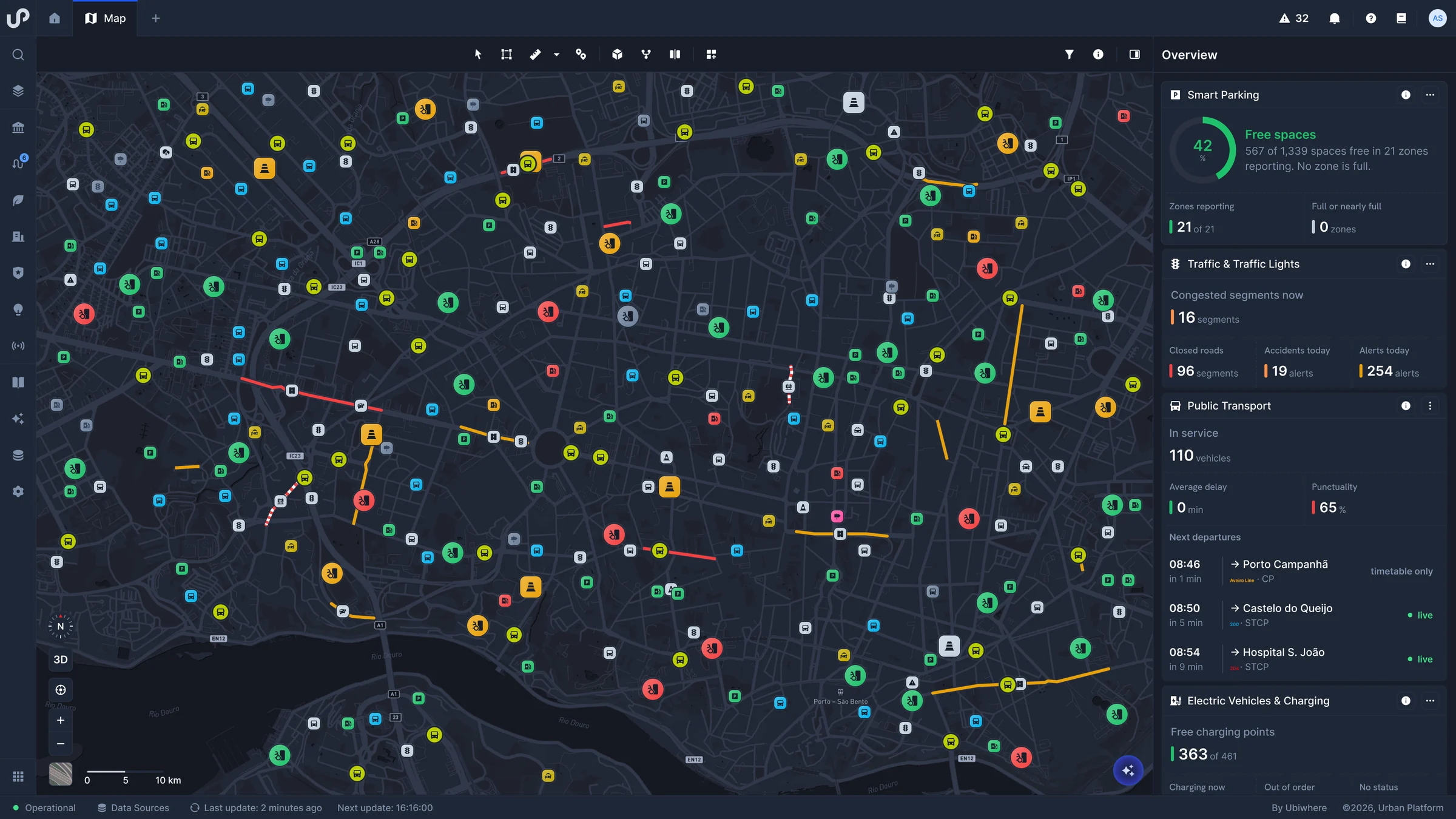
- Traffic Real-time traffic visualisation and management of road restrictions based on history.
- Parking Real-time management of occupancy and demand in car parks and on-street parking.
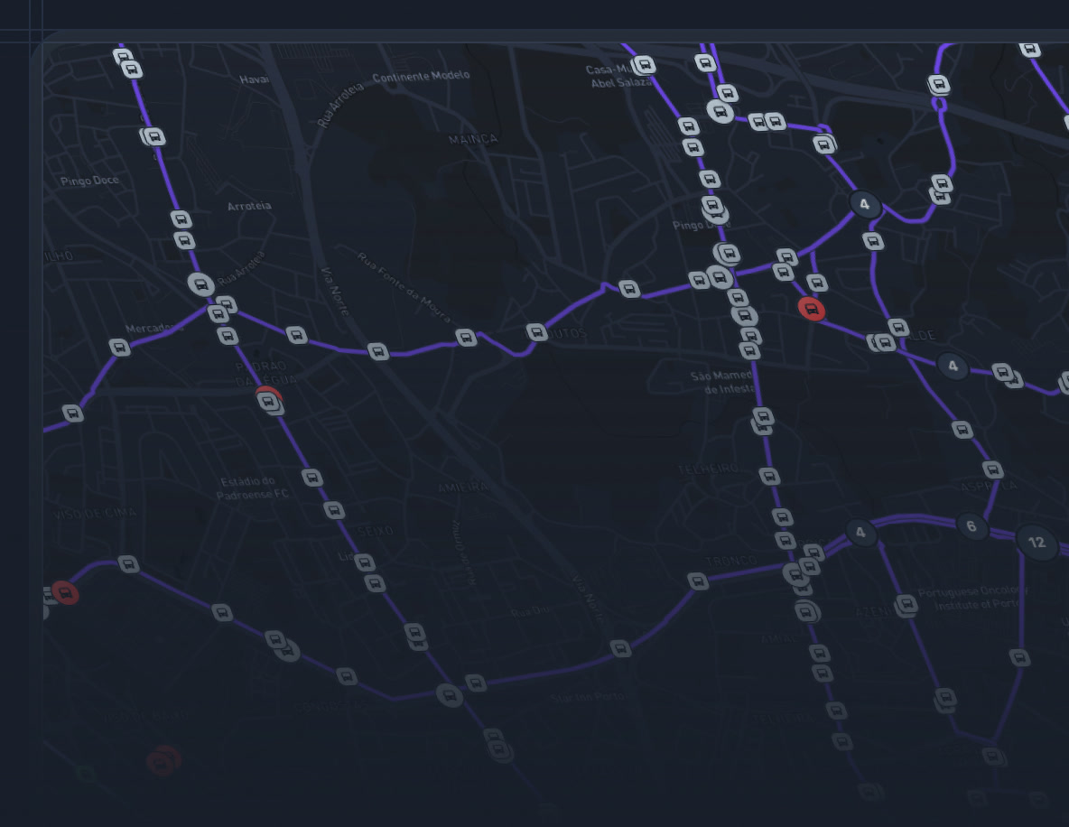
- Public Transport Visualisation of stops and lines, with real-time vehicle location.
- Micro-Mobility Monitoring of shared bikes and scooters, docking stations, cycle lanes and greenways.
- Urban Logistics Monitoring of loading and unloading and of goods movement in the city.
- Road Safety Records of accidents, black spots and speed cameras, to know where to intervene.
- Electric Vehicles Real-time information on the usage and energy consumption of charging points.
- Mobility Planning Anonymous analysis of commuter flows by profile, origin and length of stay.
- Fleets Real-time location of municipal vehicles, fuel and energy use and maintenance records.
Environment & Sustainability · 8 verticals
Monitoring and managing natural resources and environmental quality
Solutions that support sustainable management of energy, water, waste, street lighting and green spaces, and of air quality, noise and emissions against legal limits and targets.
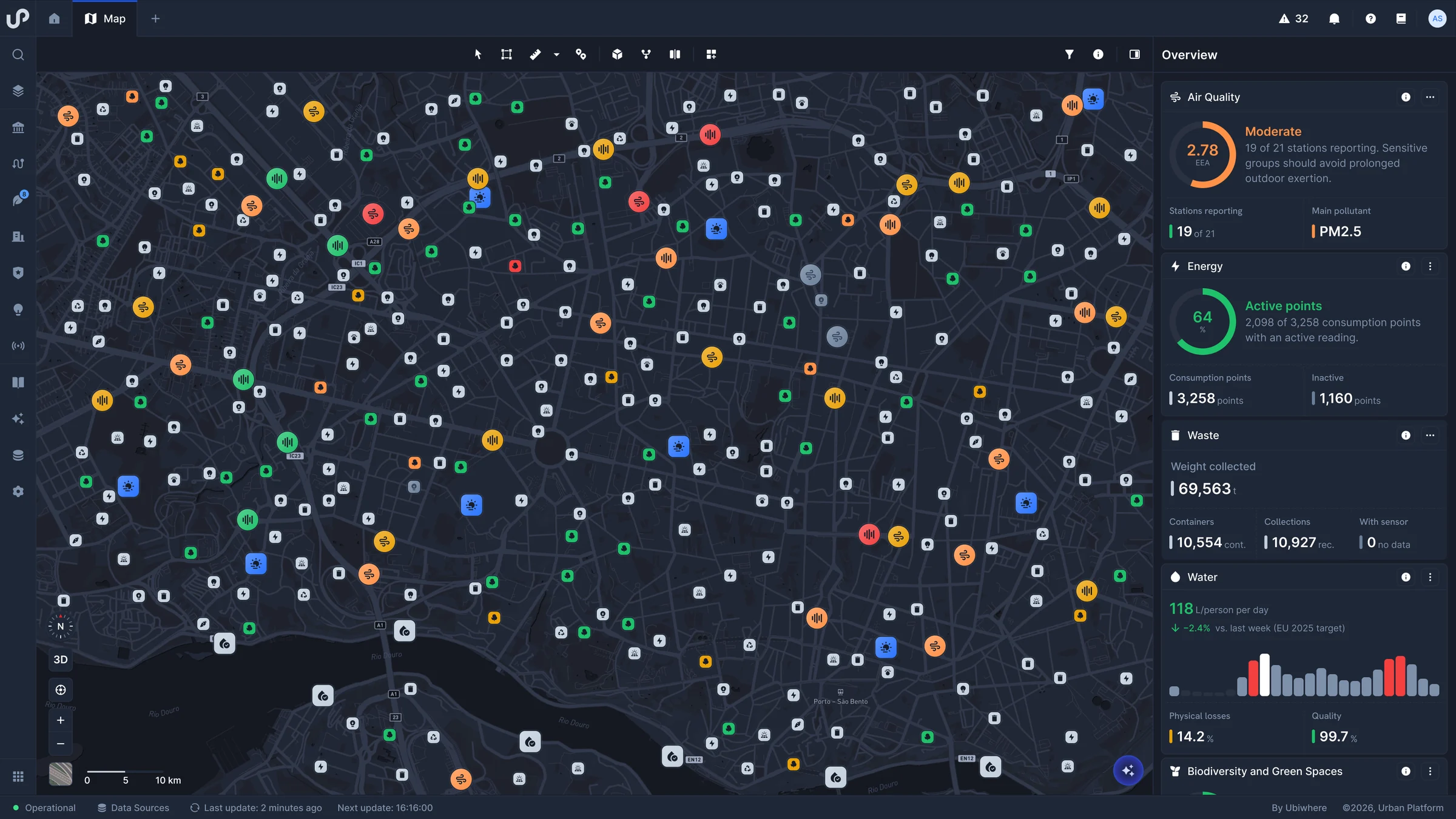
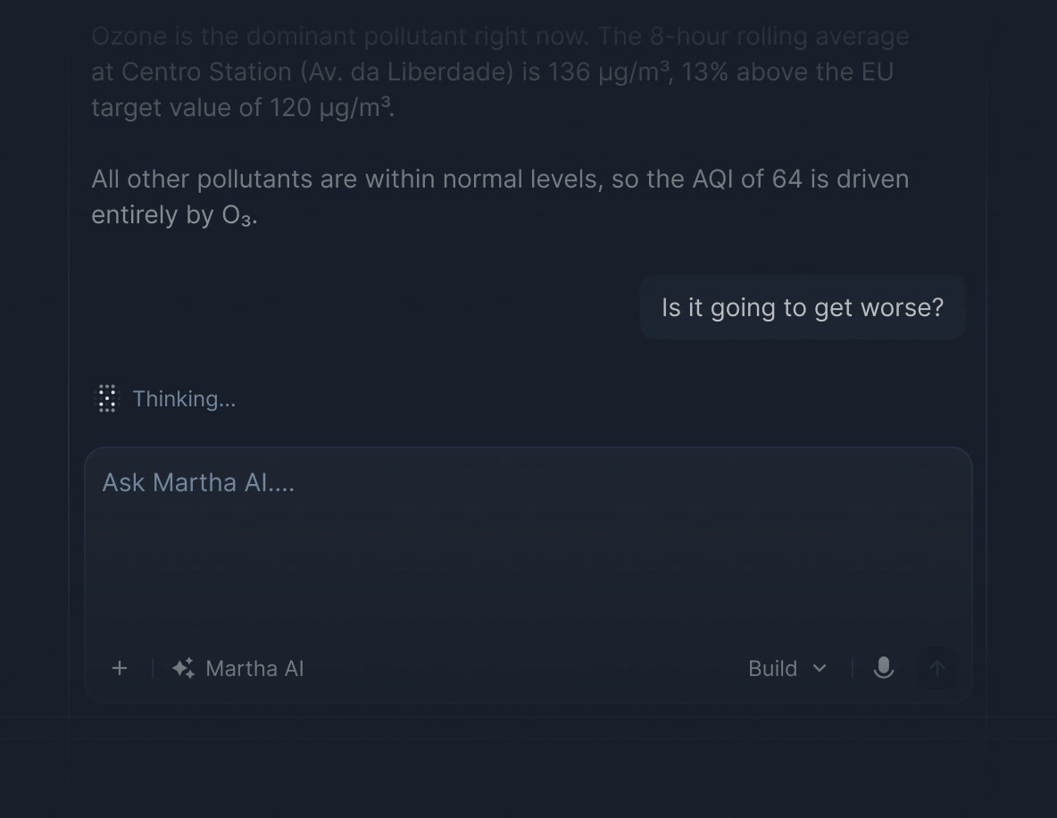
- Air Quality Real-time measurement of pollution levels by zone, against legal limits.
- Noise and Vibration Real-time measurement of noise and vibration, against the General Noise Regulation.
- Water Real-time water and irrigation consumption, to detect leaks and abnormal usage.
- Waste Monitoring of container and recycling bin fill levels and collection routes.
- Energy Monitoring of the municipality's energy consumption, contracts and renewable generation.
- Smart Lighting Monitoring of the status and consumption of street lighting luminaires.
- Biodiversity and Green Spaces Inventory and monitoring of urban trees, parks and gardens.
- Climate Indicators and Emissions Tracking of the territory's emissions and carbon footprint against targets.
Built Environment, Infrastructure & Operations · 7 verticals
Managing the territory's physical assets
Management of built heritage and infrastructure (roads, bridges, buildings, sewerage and meters), public works and predictive maintenance, in a 3D model of the territory.
- Digital Twin 3D model of the territory, with centralised visualisation of data from other verticals.
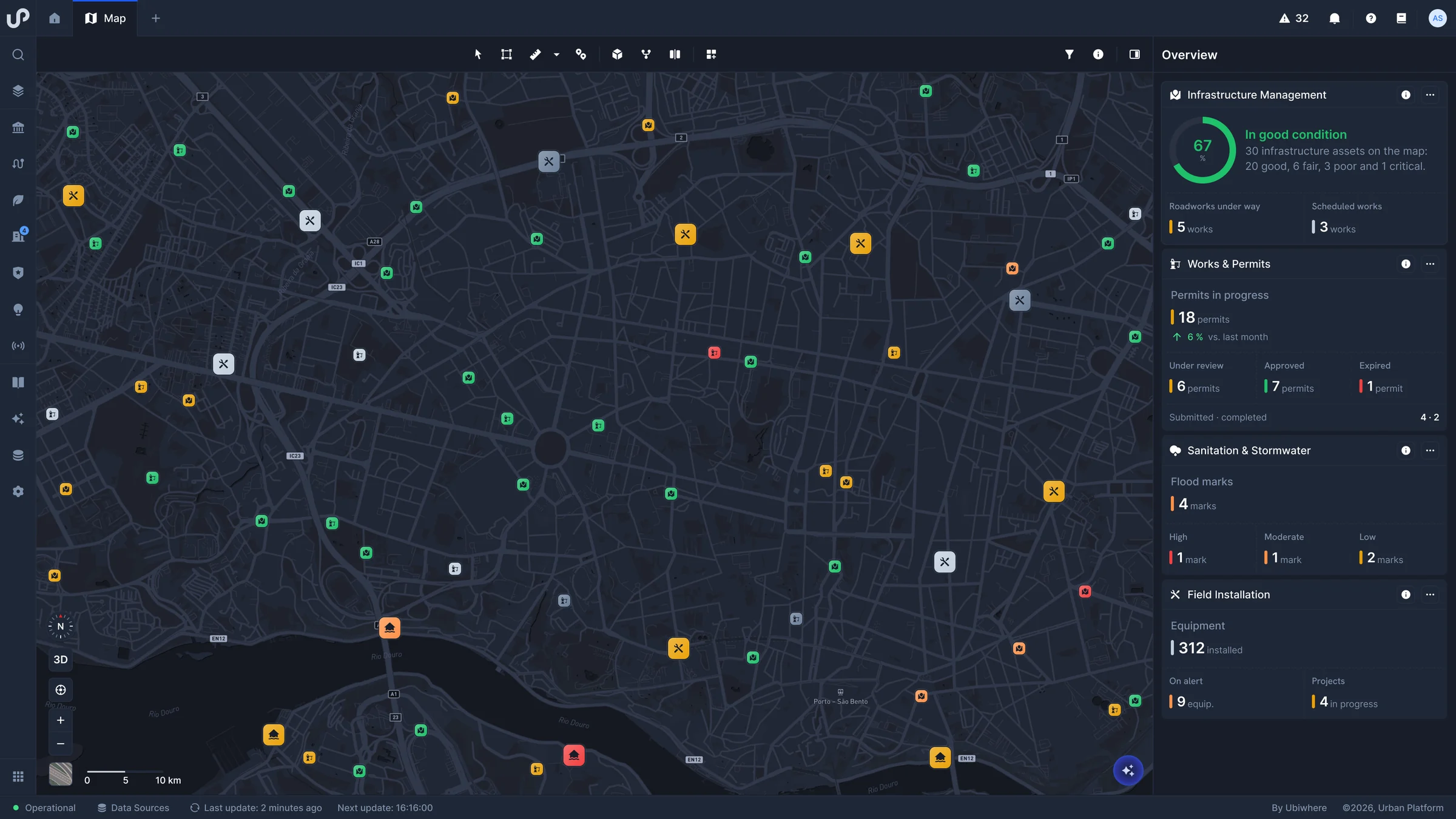
- Infrastructure Inventory, inspections and maintenance records for roads, bridges and tunnels.
- Smart Buildings Monitoring and benchmarking of energy use and comfort in municipal buildings.
- Sewerage and Stormwater Flows, levels and flood marks in sewerage and stormwater networks, in real time.
- Smart Metering Remote reading of water, electricity and gas meters, with leak detection.
- Works and Permits Planning applications, permits, building sites and site inspections.
- Predictive Maintenance Maintenance records and asset failure history, to act before a breakdown.
Society, Safety & Resilience · 8 verticals
Enhancing urban resilience and incident response
Monitoring of incidents and natural risks, public safety, health, social support, culture, events, housing and education, enabling faster and more coordinated responses.
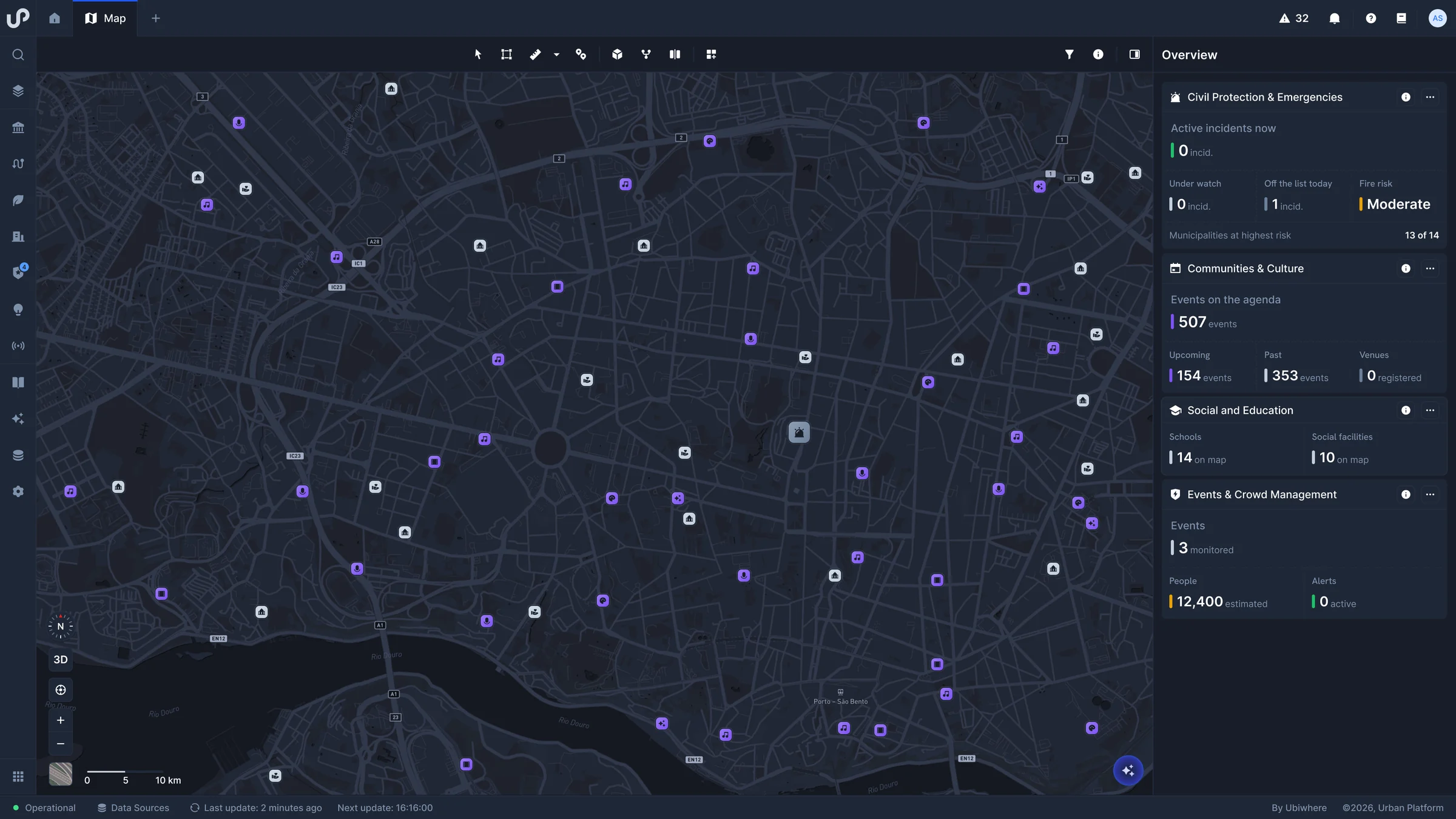
- Public Safety Video surveillance and video analytics, with people and vehicle counting.
- Civil Protection Civil Protection incidents and real-time river levels, to anticipate flooding.
- Public Health Aggregated health and demographic indicators from national health and statistics sources.
- Social Inclusion Follow-up of social support and vulnerable people, with alerts and indicators.
- Communities and Culture Up-to-date cultural agenda for citizens, with demand data from ticketing systems.
- Events Monitoring and analysis of crowd flows at events, with data every five minutes.
- Housing Municipal housing: homes, applications, allocations, rents and maintenance.
- Education School infrastructure, pupils, attendance, social support and school meals.
Economy & Innovation · 5 verticals
Turning data into decisions for the local economy
Analytics to support management of economic activity, tourism, local commerce, innovation and energy communities, with data from the territory and official statistics.
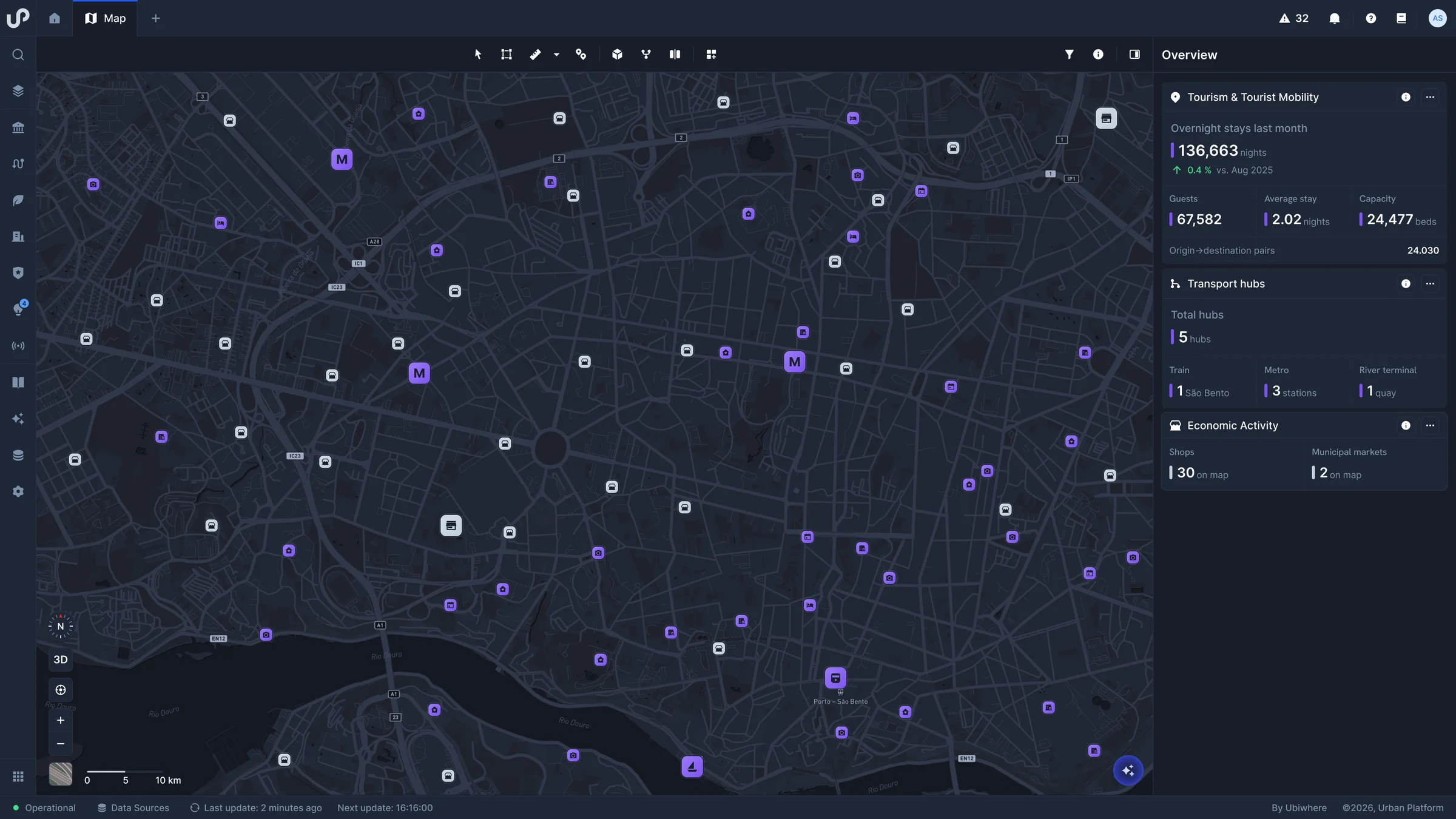
- Economic Activity Business licences, markets, fairs and business parks, by sector.
- Tourism Tourism management analytics: accommodation, consumer profiles, origins and INE data.
- Local Value Chains Monitoring of local shops, restaurants and neighbourhood markets.
- Innovation and Entrepreneurship The territory's innovation ecosystem: startups, incubators and shared workspaces.
- Distributed Energy and Energy Communities Energy communities, local solar and wind generation and storage.